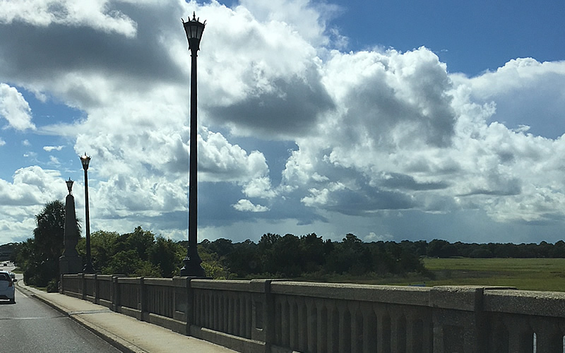
Here’s another marsh scene in Charleston County, but where exactly is it? (It’s not a different view of last week’s mystery but there’s a pretty strong likelihood that thousands of commuters see it every day.} This one is tough, but we hope it’s not as tough as last week’s photo. (We took the photo because we liked the clouds.) Send your guess to: editor@charlestoncurrents.com. And don’t forget to include your name and the town in which you live.
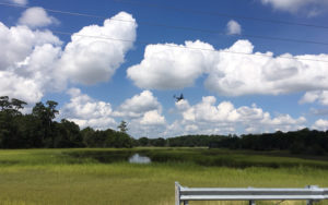 Our previous Mystery Photo
We’ll admit it. Our Sept. 4 mystery that showed a jet turning into the wild blue yonder was probably one of the toughest mysteries we’ve ever offered. No one identified the location from which the photo was taken as the jet prepared to land at Charleston International Airport. The photo was shot in North Charleston along Spruill Avenue as it crossed Noisette Creek. Hard to believe such a pristine-looking area is surrounded by a city.
Kudos, however, to Marnie Huger of Richmond, Va., and Bill Segars of Hartsville who gave their answers a good college try. Both correctly guessed it was near the airport. Segars noted, “The beautiful blue sky with puff white clouds could be anywhere in this wonderful state. But Charleston County and the airplane tells me that it must be around the Air Force Base/Airport area, I just don’t know exactly where this photo was taken.”
Thanks to all for trying!
Send us a mystery: If you have a photo that you believe will stump readers, send it along (but make sure to tell us what it is because it may stump us too!) Send it along to editor@charlestoncurrents.com.



 We Can Do Better, South Carolina!


