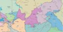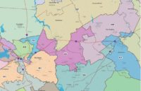
S.C. Encyclopedia | First visited by Robert Sandford in 1666 while he was reconnoitering the southeastern seaboard of North America for Lord Anthony Ashley Cooper, Colleton County was one of three original counties organized in the English province of Carolina in 1682. However, Colleton was divided into three parishes by 1730 (St. Bartholomew’s, St. Paul’s, and St. John’s Colleton), which took over most county responsibilities, including oversight of elections. Lying south and west of Charleston between the Stono and Combahee Rivers, the first-manifestation Colleton was somewhat larger than its current counterpart. Colleton County, with roughly its modern functions and boundaries (shorn of St. John’s Parish, a fragment of which, the town of Edisto Beach, returned in 1975), dates from 1868, when parishes and judicial districts were abolished. The fifth-largest county in South Carolina, Colleton is bordered by Charleston, Dorchester, Bamberg, Hampton, and Beaufort Counties, and touches the Atlantic Ocean at its southeastern tip.
![]() By 1720 Colleton was the most populous rural district in South Carolina, with 1,240 free inhabitants, mostly English, and 1,778 servants and slaves, mostly African. These early arrivals scattered along navigable waterways among patches of native inhabitants, from whom they had taken or purchased land. The early Colleton environment was rich but dangerous, subject to debilitating diseases, Spanish and French attack, hurricanes, and slave uprisings. Undaunted, the immigrants cleared land; erected houses and fences; herded cattle, pigs, and horses; and grew provisions while experimenting with various cash crops. For the most fortunate and hardy individuals and families, living standards improved and assets, particularly land and slaves, accumulated. Along the swamps and tidal streams of the Combahee, Ashepoo, and Edisto Rivers, planters cultivated rice, which they exported in vast quantities from the nearby port of Charleston. On higher ground they produced a fine grade of indigo. The average wealth for free inhabitants in the region rose to dizzying heights, which helped make South Carolina the wealthiest British colony on the North American mainland.
By 1720 Colleton was the most populous rural district in South Carolina, with 1,240 free inhabitants, mostly English, and 1,778 servants and slaves, mostly African. These early arrivals scattered along navigable waterways among patches of native inhabitants, from whom they had taken or purchased land. The early Colleton environment was rich but dangerous, subject to debilitating diseases, Spanish and French attack, hurricanes, and slave uprisings. Undaunted, the immigrants cleared land; erected houses and fences; herded cattle, pigs, and horses; and grew provisions while experimenting with various cash crops. For the most fortunate and hardy individuals and families, living standards improved and assets, particularly land and slaves, accumulated. Along the swamps and tidal streams of the Combahee, Ashepoo, and Edisto Rivers, planters cultivated rice, which they exported in vast quantities from the nearby port of Charleston. On higher ground they produced a fine grade of indigo. The average wealth for free inhabitants in the region rose to dizzying heights, which helped make South Carolina the wealthiest British colony on the North American mainland.
In the last quarter of the eighteenth century, Colleton was dotted with several villages, including Willtown and Jacksonborough along the coast, and Walterboro, a summer resort lying inland.
Jacksonborough was the first county seat. In early 1782, with Charleston occupied by British forces and the patriot General Nathanael Greene headquartered at nearby Round O, the state legislature met at Jacksonborough under the leadership of Governor John Mathews, a Colleton planter.
Independence brought significant, but not fundamental, change. The General Assembly created Colleton District in 1800, but the economy ran in old grooves, centered on African slave labor and rice exports, although cotton replaced indigo as the second most important crop. By 1860 the population of Colleton District was more than three-quarters black (the third-highest African American concentration in the state) and free per capita wealth reckoned in 1996 dollars was $63,236, the sixth-highest in South Carolina, which was a wealthy state. As a rule, blacks were slaves whose skills and labor were essential to Colleton’s prosperity but who had neither wealth nor power themselves. There were exceptions. Justus Angel and Mistress L. Horry, both African Americans, were free planters, each owning eighty-four slaves. Moreover, visitors who stopped at William Skirving’s well-run plantation on the Combahee were amazed to find that Solomon, Skirving’s black driver, managed the entire operation himself.
In 1861 the white men of Colleton went to war in defense of slavery and states’ rights. After the cause was lost and slaves were freed, white and black people alike faced a difficult transition. Despite a short boom in fertilizer manufacturing and more durable forest industries spearheaded by the timber giant Westvaco, agriculture remained central to the Colleton economy. But the old prosperity eluded farmers of both races. Through the first half of the twentieth century, black and white children went to separate schools. Education was hampered by poor facilities, lack of money and teachers, fluctuating attendance, and an overall emphasis on subsistence over preparation for a better future. Young people, especially blacks, emigrated. By the Depression of the 1930s, Colleton had an unemployment rate of more than thirty percent. Many residents were saved from starvation only by the timely arrival of federal assistance.
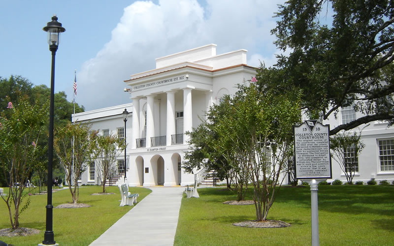
At the end of the twentieth century, the rice lands had reverted to freshwater swamps and the Ashepoo had one of the most pristine river environments in the United States. The races were roughly equal in numbers and nearer in condition than they had ever been, with the five-member county council including two African Americans in 2000. Colleton farmers of both races produced corn, soybeans, and wheat on smaller and fewer farms, and all shared the problems of agriculture elsewhere: high productivity, low prices, and fickle weather. But with a four percent increase in urban employment between 1993 and 2000 in towns such as Walterboro (the county seat since 1817), Colleton County won recognition in a national magazine’s list of South Carolina’s seven top counties for economic growth. Still, in the 1999–2000 school year, fifty-five percent of Colleton County students qualified for lunch subsidies under federal poverty guidelines.
— Excerpted from an entry by Laylon Wayne Jordan. This entry hasn’t been updated since 2006. To read more about this or 2,000 other entries about South Carolina, check out The South Carolina Encyclopedia, published in 2006 by USC Press. (Information used by permission.)

 We Can Do Better, South Carolina!